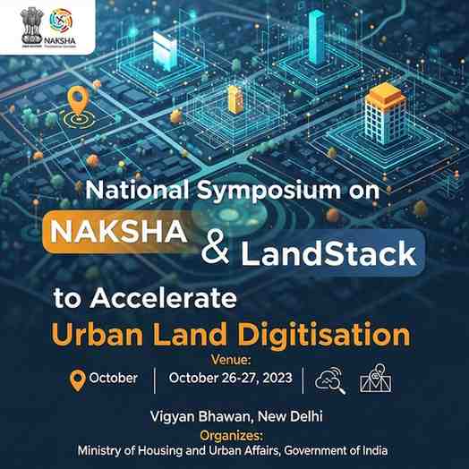
National Symposium to Advance NAKSHA, LandStack and Digital Land Governance
The Department of Land Resources will host a National Symposium on NAKSHA and LandStack on December 3, 2025, at Bharat Mandapam, New Delhi, as part of GeoSmart India 2025. The event focuses on advancing geospatial technologies to overhaul urban land governance and deliver transparent, citizen-friendly property services across the country.
Evaluating the NAKSHA Urban Mapping Pilot
A key highlight of the symposium is the review of the NAKSHA pilot, which deploys high-resolution aerial surveys, AI-driven feature extraction and advanced geospatial analytics to map more than 157 urban centres. Discussions will address challenges such as capturing accurate data in congested cityscapes, harmonising new geospatial layers with legacy cadastral maps and building statewide capacity for large-scale urban land mapping.
LandStack: Building India’s Unified Digital Land Ecosystem
Experts will deliberate on LandStack, a federated digital framework intended to integrate cadastral maps, spatial datasets and administrative property records into a seamless, interoperable system. The architecture emphasises national standards, secure data sharing and modular digital services that states can adopt without overhauling existing infrastructure, promoting nationwide scalability.
UrPro Card: Towards a Single Trusted Property Document
The symposium will also examine the proposed UrPro Card—a unified digital property document envisioned to streamline registration, mutation, property tax workflows and building-permission clearances. Sessions will explore legal reforms and harmonisation across state land departments to enable secure, portable and digitally verifiable property rights for citizens.
Exam Oriented Facts
-
NAKSHA pilot maps 157+ urban centres using aerial and AI-based surveys.
-
LandStack aims to unify cadastral, geospatial and administrative datasets.
-
UrPro Card proposed as a single digital property document .
-
WebGIS, cloud geospatial services and AI/ML-driven 3D mapping showcased at the symposium.
Driving India’s Digital Land Governance Vision
Technology demonstrations—including WebGIS dashboards, cloud-hosted geospatial workflows and 3D digital twins—will show how modern tools enhance accuracy, reduce disputes and improve service delivery. The symposium reflects India’s commitment to replacing fragmented legacy land systems with an integrated, technology-driven framework aligned with the broader vision of Viksit Bharat 2047 .
Month: Current Affairs - Dec 05, 2025
Category: NAKSHA urban mapping, LandStack ecosystem