- Date: October 2025
- Agency: Bureau of Indian Standards (BIS).
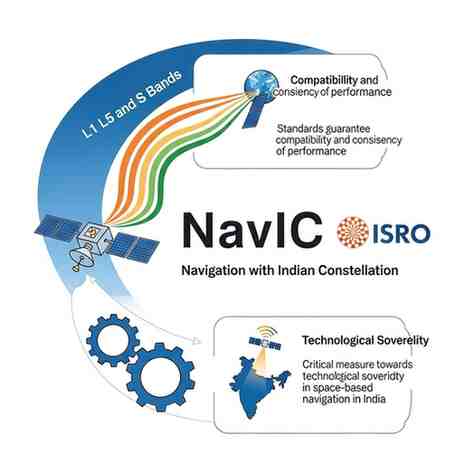
- System: NavIC -Navigation with Indian Constellation, an ISRO project.
Key Highlights:
- BIS presents standards of NavIC-compatible receiver, including signal acquisition, tracking, accuracy of positioning, time tolerance, resistance to interference, and environmental durability.
- The Standardisation guarantees credible performance in such sectors as transport, disaster management, agriculture, and location based services.
- NavIC provides the positional resolution of 1.5 metres and the time resolution of 50 nanoseconds on L1, L5 and S bands.
Strategic Significance:
- The demand of India to have its own navigation system is after they were denied access to high-precision GPS data in the Kargil conflict in 1999.
- NavIC raises the technological level of self-reliance, it becomes a part of the world navigation giants: GPS (USA), Galileo (EU), GLONASS (Russia), BeiDou (China).
- It is civilian-controlled, and is customized to regional and domestic needs, whereas GPS is controlled by the US military.
Operational Details:
- Since 2018 with seven satellites, IRNSS was approved in 2006.
- Covers 1,500 km beyond the borders and provides coverage throughout India correctly.
- BIS certification is now optional, and should gain more usage in smartphones, vehicles, and navigation systems.
Exam-Oriented Facts:
- NavIC = Navigation with Indian Constellation ISRO.
- Transmission of SPS in L1, L5 and S bands.
- Standards guarantee compatibility and consistency of performance.
- Critical measure towards technological sovereignty in space-based navigation in India.
Related Topics:
- Local satellite navigation systems.
- Tactical independence and information technology infrastructure.
- Space technology and civil use by ISRO.
Month: Current Affairs - October 25, 2025
Category: strategic self-reliance initiatives